
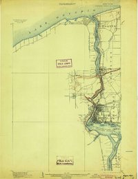
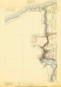
1901 Map of Niagara Falls
USGS Topo · Published 1901About this map
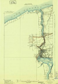
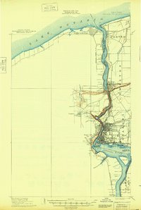
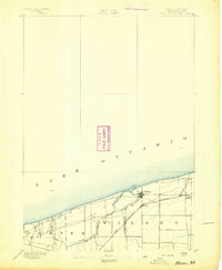
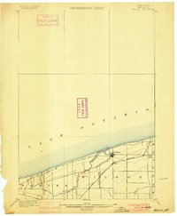
The Niagara River serves as the focal point of this 1901 survey, illustrating the complex international border and industrial development at the turn of the century. The map highlights the famous cataract, specifically noting the height of the Niagara Falls Great Fall, while also detailing the surrounding islands like Goat Id. and Navy Id.. On the American side, the city of Niagara Falls and the community at Suspension Bridge show a dense network of competing rail lines, including the Erie R. R. and the Niagara Falls and Lewiston Electric R. R.. Further north, the military history of the region is anchored by Fort Niagara and its Canadian counterpart, Fort Massassauga, flanking the mouth of the river at Lake Ontario. This map captures the region when electric rail and heavy industry were rapidly reshaping the landscape around the river's power.
Find a feature on this map
44 named features on this map. Tap any name to fly to it.
Don’t see what you’re looking for? This feature index may not catch every label — zoom into the map to look around manually.
Map Details
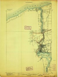
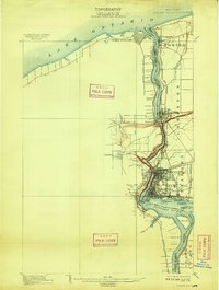
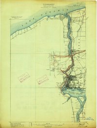
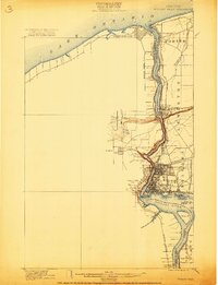
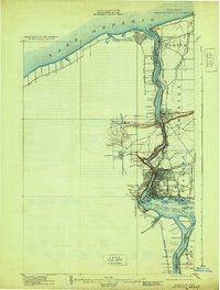
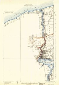
Editions of this 1901 Niagara Falls Map
11 editions found
1901 edition
15 x 22.1 inches
1904 edition
16.4 x 21.3 inches
1907 edition
16.5 x 21.9 inches
1909 edition
16.5 x 21.9 inches
1913 edition
16.5 x 21.9 inches
1921 edition
15.2 x 21.6 inches
1921 edition
16.6 x 21.6 inches
1929 edition
16.5 x 21.8 inches
1933 edition
15.2 x 21.9 inches
1943 edition
15.3 x 22.2 inches
1948 edition
15.2 x 22.6 inches
Other maps of this area

1894 · Buffalo
USGS Topo · 1:62,500

1894 · Niagara Falls
USGS Topo · 1:62,500
1894 · Wilson
USGS Topo · 1:62,500

1896 · Niagara Falls
USGS Topo · 1:62,500

1897 · Tonawanda
USGS Topo · 1:62,500

1899 · Niagara
USGS Topo · 1:125,000
1900 · Wilson
USGS Topo · 1:62,500

1900 · Tonawanda
USGS Topo · 1:62,500

1900 · Niagara Falls
USGS Topo · 1:62,500

1901 · Buffalo
USGS Topo · 1:62,500