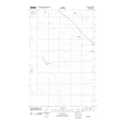
2011 Map of Niagara
USGS Topo · Published 2011About this map
The town of Niagara sits at the headwaters of the regional drainage system, where the northern plains are defined by an intricate network of small-scale water management. This landscape is characterized by its numerous small reservoirs and impoundments, such as Niagara Dam and the Georgeson Dam located near Little Goose Lake. These features, along with a series of numbered structures like Upper Turtle River Number 5 Dam, illustrate the systematic control of seasonal runoff across the prairie. The settlement pattern follows a rigid section-line grid of rural avenues, anchored by the community of Niagara in the northwest and the smaller locale of Shawnee to the east. Waterways like Whisky Creek and the Little Goose River thread between the gravel roads, leading toward more significant depressions such as Smith Lakes. This survey captures the rural infrastructure of Grand Forks County as it functioned in the early 21st century.
Find a feature on this map
27 named features on this map. Tap any name to fly to it.
Don’t see what you’re looking for? This feature index may not catch every label — zoom into the map to look around manually.
Map Details
Editions of this 2011 Niagara Map
This is the sole edition of this map. No revisions or reprints were ever made.
Other maps of this area

1936 · Larimore
USGS Topo · 1:62,500

1939 · Niagara
USGS Topo · 1:62,500

1952 · Grand Forks
USGS Topo · 1:250,000

1952 · Thief River Falls
USGS Topo · 1:250,000

1956 · Thief River Falls
USGS Topo · 1:250,000

1956 · Grand Forks
USGS Topo · 1:250,000

1957 · Thief River Falls
USGS Topo · 1:250,000

1963 · Orr
USGS Topo · 1:24,000

1963 · Niagara SW
USGS Topo · 1:24,000

1963 · Fordville SE
USGS Topo · 1:24,000