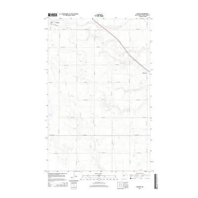
2014 Map of Niagara
USGS Topo · Published 2014About this map
Niagara serves as a primary hub of settlement in this northern plains landscape, situated alongside a corridor that cuts through the rolling topography of Grand Forks County. The terrain is defined by a dendritic network of seasonal and permanent waterways, including the winding Whisky Cr to the north and the S Br Turtle River which meanders through the central section. To the east, the small community of Shawnee marks a distinct point of interest on the prairie, reflecting the scattered nature of rural development in this region.
Find a feature on this map
24 named features on this map. Tap any name to fly to it.
Don’t see what you’re looking for? This feature index may not catch every label — zoom into the map to look around manually.
Map Details
Editions of this 2014 Niagara Map
This is the sole edition of this map. No revisions or reprints were ever made.
Other maps of this area

1936 · Larimore
USGS Topo · 1:62,500

1939 · Niagara
USGS Topo · 1:62,500

1952 · Grand Forks
USGS Topo · 1:250,000

1952 · Thief River Falls
USGS Topo · 1:250,000

1956 · Thief River Falls
USGS Topo · 1:250,000

1956 · Grand Forks
USGS Topo · 1:250,000

1957 · Thief River Falls
USGS Topo · 1:250,000

1963 · Orr
USGS Topo · 1:24,000

1963 · Niagara SW
USGS Topo · 1:24,000

1963 · Fordville SE
USGS Topo · 1:24,000