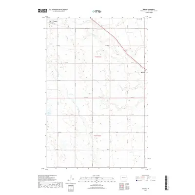
2017 Map of Niagara
USGS Topo · Published 2017About this map
Niagara occupies the northwest corner of this Grand Forks County landscape, situated at the junction of the state highway and local grid. The surrounding terrain is defined by a dense network of prairie wetlands and meandering seasonal drainages, including the headwaters of the S Br Turtle River and Whisky Cr. While much of the area is dedicated to a structured grid of agricultural section lines, the presence of Little Goose Lake and the Smith Lakes provides a contrast to the geometric pattern of county roads. Further east, the settlement of Shawnee appears as a quiet waypoint along the rail corridor. This modern survey reflects the enduring character of eastern North Dakota, where small municipal hubs like Niagara and local aviation at Kyllo Airport serve a landscape shaped by the Little Goose River.
Find a feature on this map
23 named features on this map. Tap any name to fly to it.
Don’t see what you’re looking for? This feature index may not catch every label — zoom into the map to look around manually.
Map Details
Editions of this 2017 Niagara Map
This is the sole edition of this map. No revisions or reprints were ever made.
Other maps of this area

1936 · Larimore
USGS Topo · 1:62,500

1939 · Niagara
USGS Topo · 1:62,500

1952 · Grand Forks
USGS Topo · 1:250,000

1952 · Thief River Falls
USGS Topo · 1:250,000

1956 · Thief River Falls
USGS Topo · 1:250,000

1956 · Grand Forks
USGS Topo · 1:250,000

1957 · Thief River Falls
USGS Topo · 1:250,000

1963 · Orr
USGS Topo · 1:24,000

1963 · Niagara SW
USGS Topo · 1:24,000

1963 · Fordville SE
USGS Topo · 1:24,000