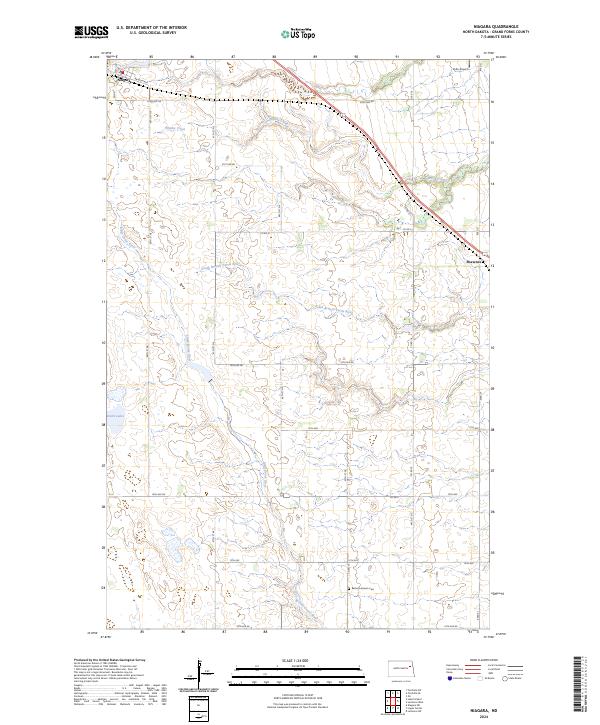
2024 Map of Niagara
USGS Topo · Published 2024About this map
Niagara and the small settlement of Shawnee anchor this portion of Grand Forks County, where the agricultural landscape is deeply etched by a network of seasonal and permanent waterways. The Little Goose River and the South Branch Turtle River wind through the prairie, providing vital drainage and habitat in an otherwise structured grid of section lines and county roads. Significant conservation efforts are evident in the protected lands of the Little Goose National Wildlife Refuge and multiple units of the Grand Forks County Waterfowl Production Area, which preserve wetlands like Smith Lakes for migratory birds.
Find a feature on this map
34 named features on this map. Tap any name to fly to it.
Don’t see what you’re looking for? This feature index may not catch every label — zoom into the map to look around manually.
Map Details
Editions of this 2024 Niagara Map
This is the sole edition of this map. No revisions or reprints were ever made.
Other maps of this area

1936 · Larimore
USGS Topo · 1:62,500

1939 · Niagara
USGS Topo · 1:62,500

1952 · Grand Forks
USGS Topo · 1:250,000

1952 · Thief River Falls
USGS Topo · 1:250,000

1956 · Thief River Falls
USGS Topo · 1:250,000

1956 · Grand Forks
USGS Topo · 1:250,000

1957 · Thief River Falls
USGS Topo · 1:250,000

1963 · Orr
USGS Topo · 1:24,000

1963 · Niagara SW
USGS Topo · 1:24,000

1963 · Fordville SE
USGS Topo · 1:24,000