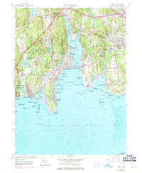
1958 Map of Niantic
USGS Topo · Published 1971About this map
Coastal development along Niantic Bay and the Niantic River defines this mid-century New London County landscape. The shoreline is densely populated with summer colonies and year-round settlements like Crescent Beach, Pine Grove, and the Black Point Beach Club, reflecting the area's growth as a premier maritime destination. Significant institutional land use is evident in the State Farm for Women and the State Military Camp, while the Penn Central rail line hugs the coast, connecting these seaside communities.
Find a feature on this map
113 named features on this map. Tap any name to fly to it.
Don’t see what you’re looking for? This feature index may not catch every label — zoom into the map to look around manually.
Map Details
Editions of this 1958 Niantic Map
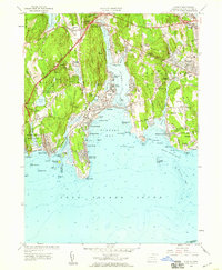
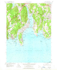
3 editions found
Other maps of this area

1892 · New London
USGS Topo · 1:62,500

1893 · New London
USGS Topo · 1:62,500

1893 · Saybrook
USGS Topo · 1:62,500

1903 · Gardiners Island
USGS Topo · 1:62,500

1904 · Gardiners Island
USGS Topo · 1:62,500

1921 · Gardiners Island
USGS Topo · 1:62,500

1921 · New London
USGS Topo · 1:62,500

1934 · Niantic
USGS Topo · 1:24,000

1935 · Montville
USGS Topo · 1:24,000

1938 · New London
USGS Topo · 1:31,680