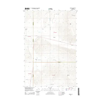
2014 Map of Niarada
USGS Topo · Published 2014About this map
Niarada sits at a critical junction of geography and political boundaries where Sanders, Flathead, and Lake counties meet in northwest Montana. The settlement is positioned along MT-28, surrounded by a landscape defined by significant topographical depressions and rising peaks. To the north and east, the Salish Mountains and the Hog Heaven Range overlook the valley floor. Large natural drainage features such as Big Draw, Deep Draw, and Sullivan Gulch dictate the local movement of water and travelers alike. Local history and genealogy are anchored at the Niarada Cem, while the network of mountain roads like Browns Meadow Rd and Battle Butte Rd suggests the enduring routes used by the ranching and timber communities that inhabit these foothills.
Find a feature on this map
28 named features on this map. Tap any name to fly to it.
Don’t see what you’re looking for? This feature index may not catch every label — zoom into the map to look around manually.
Map Details
Editions of this 2014 Niarada Map
This is the sole edition of this map. No revisions or reprints were ever made.
Other maps of this area

1920 · Flathead Lake
USGS Topo · 1:125,000

1956 · Wallace
USGS Topo · 1:250,000

1960 · Wallace
USGS Topo · 1:250,000

1964 · Irvine Lookout Tower
USGS Topo · 1:24,000
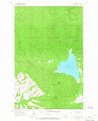
1964 · Lake Mary Ronan
USGS Topo · 1:24,000

1964 · Mill Pocket Creek
USGS Topo · 1:24,000
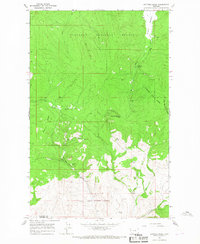
1964 · Kofford Ridge
USGS Topo · 1:24,000

1964 · Hubbart Reservoir
USGS Topo · 1:24,000

1964 · Lonepine
USGS Topo · 1:24,000
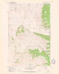
1964 · Niarada
USGS Topo · 1:24,000