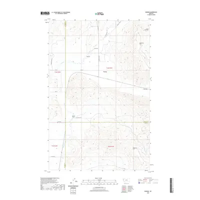
2020 Map of Niarada
USGS Topo · Published 2020About this map
Niarada sits at the convergence of three northwestern Montana counties—Sanders, Flathead, and Lake—marking a point of transition between the high peaks of the Salish Mountains and the broad valley floor. This 2020 survey illustrates a landscape defined by significant drainage features, such as the Big Draw and the more narrow Sullivan Gulch and Deep Draw, which funnel seasonal waters into Sullivan Cr. Local transit is anchored by a network of rural routes including Hubbard Reservoir Rd and Browns Meadow Rd, which provide access to the foothills of the Hog Heaven Range. For those researching regional history, the Niarada Cem stands as a quiet marker of the community's past, situated near the headwaters of the gulches that define the local topography.
Find a feature on this map
27 named features on this map. Tap any name to fly to it.
Don’t see what you’re looking for? This feature index may not catch every label — zoom into the map to look around manually.
Map Details
Editions of this 2020 Niarada Map
This is the sole edition of this map. No revisions or reprints were ever made.
Other maps of this area

1920 · Flathead Lake
USGS Topo · 1:125,000

1956 · Wallace
USGS Topo · 1:250,000

1960 · Wallace
USGS Topo · 1:250,000

1964 · Irvine Lookout Tower
USGS Topo · 1:24,000
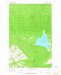
1964 · Lake Mary Ronan
USGS Topo · 1:24,000

1964 · Mill Pocket Creek
USGS Topo · 1:24,000
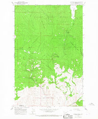
1964 · Kofford Ridge
USGS Topo · 1:24,000

1964 · Hubbart Reservoir
USGS Topo · 1:24,000

1964 · Lonepine
USGS Topo · 1:24,000
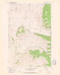
1964 · Niarada
USGS Topo · 1:24,000