
1934 Map of Nicatous Lake
USGS Topo · Published 1934About this map
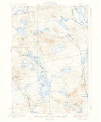
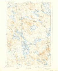
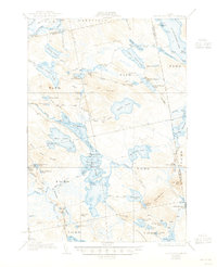
Nicatous Lake serves as the central anchor of this 1932 survey, a complex system of interconnected waterways and islands within the dense woodlands of Hancock County. The map captures a moment when this area was characterized by sporting lodges and timber-related camps, such as the Nicatous Club, Poplar Tavern Camp, and the Explorers Club. The terrain is marked by significant wetlands like 1000 Acre Heath near the Passadumkeag River, and prominent elevations including Duck Mtn and Sabao Mountain. Small-scale settlement and recreation are evident in the scattered locations of No 6 Camp and No 2 Camp, while the network of trails and unpaved roads indicates the remote, wild character of the landscape before major modern development. Local geography is further defined by various family-named features like Morrison Ridge and Coombs Brook, providing valuable reference points for researchers tracing the historical usage of these northern woods.
Find a feature on this map
95 named features on this map. Tap any name to fly to it.
Don’t see what you’re looking for? This feature index may not catch every label — zoom into the map to look around manually.
Map Details
Editions of this 1934 Nicatous Lake Map
4 editions found
Other maps of this area

1920 · Winn
USGS Topo · 1:62,500

1929 · Great Pond
USGS Topo · 1:48,000

1929 · Lead Mountain
USGS Topo · 1:48,000

1931 · Springfield
USGS Topo · 1:48,000

1931 · Saponac
USGS Topo · 1:48,000

1932 · Nicatous Lake
USGS Topo · 1:48,000

1932 · Lead Mountain
USGS Topo · 1:62,500

1932 · Great Pond
USGS Topo · 1:62,500

1934 · Saponac
USGS Topo · 1:62,500

1934 · Springfield
USGS Topo · 1:62,500