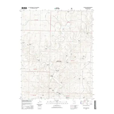
2015 Map of Nichols Knob
USGS Topo · Published 2015About this map
The North Fork River carves a deep, winding path through this portion of Douglas County, defining the settlement patterns and geographic character of the region. Local life centers on traditional river crossings and springs, notably the settlement of Topaz near Topaz Spring and the historic fords at Osborn Crossing and Hale Crossing. The landscape is a complex network of ridges and hollows, many bearing the names of early residents, such as Sam Wood Hollow and Jim Coble Hollow.
Find a feature on this map
73 named features on this map. Tap any name to fly to it.
Don’t see what you’re looking for? This feature index may not catch every label — zoom into the map to look around manually.
Map Details
Editions of this 2015 Nichols Knob Map
This is the sole edition of this map. No revisions or reprints were ever made.
Other maps of this area

1937 · Buckhart
USGS Topo · 1:48,000

1939 · Topaz
USGS Topo · 1:62,500

1941 · Topaz
USGS Topo · 1:62,500

1943 · Buckhart
USGS Topo · 1:62,500

1945 · Harrison
USGS Topo · 1:250,000

1945 · Buckhart
USGS Topo · 1:62,500

1949 · Harrison
USGS Topo · 1:250,000

1950 · Cabool SW
USGS Topo · 1:24,000

1951 · Mountain Grove South
USGS Topo · 1:24,000

1951 · Cabool SE
USGS Topo · 1:24,000