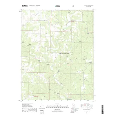
2017 Map of Nichols Knob
USGS Topo · Published 2017About this map
The North Fork River winds through the heart of this Douglas County landscape, carving a series of hollows and ridges within the Mark Twain National Forest. The settlement of Topaz serves as a primary point of interest, situated near the headwaters of Topaz Spring. The terrain is characterized by its named local geography, where features like Toothpick Ridge and Nichols Knob rise above the many creek-carved depressions such as Brushy Mill Hollow and Jim Coble Hollow.
Find a feature on this map
87 named features on this map. Tap any name to fly to it.
Don’t see what you’re looking for? This feature index may not catch every label — zoom into the map to look around manually.
Map Details
Editions of this 2017 Nichols Knob Map
This is the sole edition of this map. No revisions or reprints were ever made.
Other maps of this area

1937 · Buckhart
USGS Topo · 1:48,000

1939 · Topaz
USGS Topo · 1:62,500

1941 · Topaz
USGS Topo · 1:62,500

1943 · Buckhart
USGS Topo · 1:62,500

1945 · Harrison
USGS Topo · 1:250,000

1945 · Buckhart
USGS Topo · 1:62,500

1949 · Harrison
USGS Topo · 1:250,000

1950 · Cabool SW
USGS Topo · 1:24,000

1951 · Mountain Grove South
USGS Topo · 1:24,000

1951 · Cabool SE
USGS Topo · 1:24,000