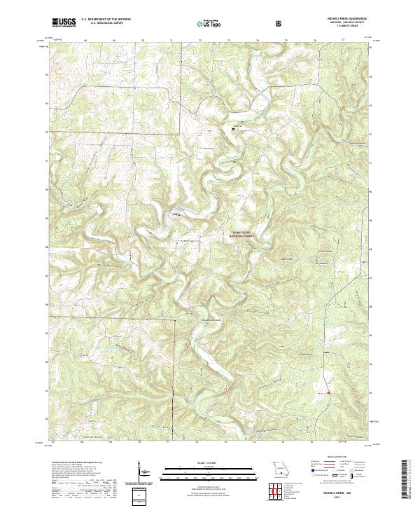
2021 Map of Nichols Knob
USGS Topo · Published 2021About this map
Topaz sits at a bend in the North Fork River, serving as a central point of settlement in this part of Douglas County. The landscape is defined by the winding river and a network of named springs, including Topaz Spring, Mint Spring, and Hoots Spring, which emerge from the base of the many hollows that cut through the terrain. Portions of the Mark Twain National Forest cover the ridges and valleys, illustrating the enduring woodland character of the Ozark Plateau.
Find a feature on this map
54 named features on this map. Tap any name to fly to it.
Don’t see what you’re looking for? This feature index may not catch every label — zoom into the map to look around manually.
Map Details
Editions of this 2021 Nichols Knob Map
This is the sole edition of this map. No revisions or reprints were ever made.
Other maps of this area

1937 · Buckhart
USGS Topo · 1:48,000

1939 · Topaz
USGS Topo · 1:62,500

1941 · Topaz
USGS Topo · 1:62,500

1943 · Buckhart
USGS Topo · 1:62,500

1945 · Harrison
USGS Topo · 1:250,000

1945 · Buckhart
USGS Topo · 1:62,500

1949 · Harrison
USGS Topo · 1:250,000

1950 · Cabool SW
USGS Topo · 1:24,000

1951 · Mountain Grove South
USGS Topo · 1:24,000

1951 · Cabool SE
USGS Topo · 1:24,000