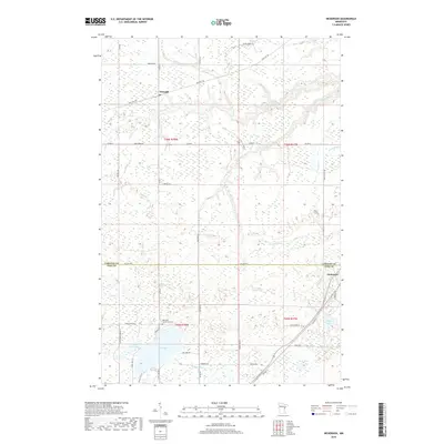
2019 Map of Nickerson
USGS Topo · Published 2019About this map
The Nemadji River and its intricate drainage network, including Hunters Cr and Stony Brook, carve through the transition between Carlton and Pine counties. This modern survey reflects the repurposing of industrial corridors, most notably where the Soo Line Trl now follows the path of former railroad infrastructure through the settlement of Nemadji. To the south, the landscape is defined by a dense cluster of water bodies such as Oak Lake, Maheu Lake, and Wolf Lake. Local heritage is anchored by the Oak Lake Community Cem, while the township of Nickerson serves as a focal point near the eastern boundary. The extensive network of rural routes, from Old Hwy 23 to family-named paths like Hedberg Rd and Berger Rd, reveals the enduring residential and agricultural footprint of the region.
Find a feature on this map
43 named features on this map. Tap any name to fly to it.
Don’t see what you’re looking for? This feature index may not catch every label — zoom into the map to look around manually.
Map Details
Editions of this 2019 Nickerson Map
This is the sole edition of this map. No revisions or reprints were ever made.
Other maps of this area

1949 · Holyoke
USGS Topo · 1:48,000

1953 · Duluth
USGS Topo · 1:250,000

1954 · Wrenshall
USGS Topo · 1:24,000

1954 · Atkinson
USGS Topo · 1:24,000

1956 · Barnum
USGS Topo · 1:62,500

1958 · Duluth
USGS Topo · 1:250,000

1962 · Holyoke
USGS Topo · 1:62,500

1962 · Bruno
USGS Topo · 1:62,500

1980 · Sandstone
USGS Topo · 1:100,000

1980 · Duluth
USGS Topo · 1:100,000