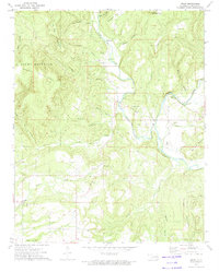
1973 Map of Nicut
USGS Topo · Published 1974About this map
Nicut sits within the winding valley of Little Lee Creek in this 1970s survey, a landscape defined by small rural hubs and the steep ridges of the Brushy Mountains. The settlement pattern reflects a reliance on the creek system, with centers of activity like Belfont Sch and Lee Ch positioned near the water's course. Genealogy researchers will find several family-named landmarks and resting places, including the John Seabolt Cem and Seabolt Cem, as well as the Curtis Ranch in the northeastern corner.
Find a feature on this map
40 named features on this map. Tap any name to fly to it.
Don’t see what you’re looking for? This feature index may not catch every label — zoom into the map to look around manually.
Map Details
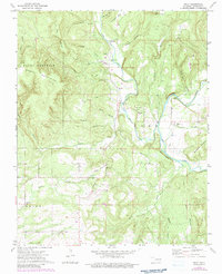
Editions of this 1973 Nicut Map
2 editions found
Other maps of this area

1879 · Fort Smith
USGS Topo · 1:62,500

1887 · Van Buren
USGS Topo · 1:62,500

1890 · Fort Smith
USGS Topo · 1:125,000

1898 · Winslow #3
USGS Topo · 1:62,500

1898 · Tahlequah
USGS Topo · 1:125,000

1898 · Winslow
USGS Topo · 1:125,000

1900 · Sallisaw
USGS Topo · 1:125,000

1901 · Winslow
USGS Topo · 1:125,000

1901 · Tahlequah
USGS Topo · 1:125,000

1905 · Tahlequah
USGS Topo · 1:125,000