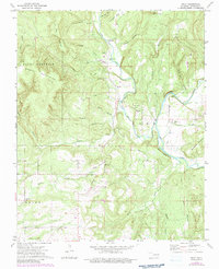
1973 Map of Nicut
USGS Topo · Published 1983About this map
Little Lee Creek and the larger Lee Creek dominate the drainage of this Sequoyah County landscape, where small upland communities and family landmarks define the terrain. The settlement of Nicut serves as a central point among numerous named hollows, including Rabbit Hollow and Dead Man Hollow. Local genealogy and community history are anchored by several country churches and burial sites, such as Copic Ch, Lee Ch, and the John Seabolt Cem.
Find a feature on this map
43 named features on this map. Tap any name to fly to it.
Don’t see what you’re looking for? This feature index may not catch every label — zoom into the map to look around manually.
Map Details
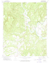
Editions of this 1973 Nicut Map
2 editions found
Other maps of this area

1879 · Fort Smith
USGS Topo · 1:62,500

1887 · Van Buren
USGS Topo · 1:62,500

1890 · Fort Smith
USGS Topo · 1:125,000

1898 · Winslow #3
USGS Topo · 1:62,500

1898 · Tahlequah
USGS Topo · 1:125,000

1898 · Winslow
USGS Topo · 1:125,000

1900 · Sallisaw
USGS Topo · 1:125,000

1901 · Winslow
USGS Topo · 1:125,000

1901 · Tahlequah
USGS Topo · 1:125,000

1905 · Tahlequah
USGS Topo · 1:125,000