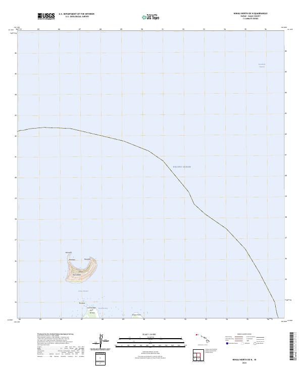
2024 Map of Niihau North OE N
USGS Topo · Published 2024About this map
The crescent-shaped islet of Lehua serves as the dominant landform in this maritime survey, situated just north of the larger island of Ni'ihau. Contours define the steep elevations of this volcanic remnant, showing landmarks such as Kaunuakalā, Naupaka, and Kahauna along its rim. The surrounding waters of the Pacific Ocean are divided by the Lehua Channel, which separates the two islands, and the broader Kaulakahi Channel to the east.
Find a feature on this map
13 named features on this map. Tap any name to fly to it.
Don’t see what you’re looking for? This feature index may not catch every label — zoom into the map to look around manually.
Map Details
Editions of this 2024 Niihau North OE N Map
This is the sole edition of this map. No revisions or reprints were ever made.
Other maps of this area

1954 · Kauai
USGS Topo · 1:250,000

1967 · Kauai
USGS Topo · 1:250,000

1970 · Kauai
USGS Topo · 1:250,000
1984 · Niihau North
USGS Topo · 1:25,000
1989 · Keanauhi Valley
USGS Topo · 1:24,000
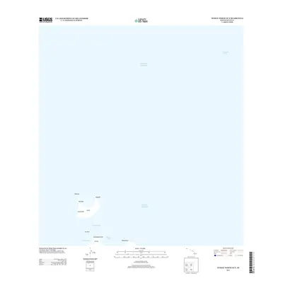
2013 · Niihau North OE N
USGS Topo · 1:24,000
2013 · Niihau North OE NW
USGS Topo · 1:24,000
2013 · Niihau North OE W
USGS Topo · 1:24,000
2013 · Niihau North
USGS Topo · 1:24,000
2017 · Niihau North OE W
USGS Topo · 1:24,000