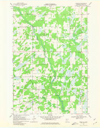
1969 Map of Nimrod SW
USGS Topo · Published 1980About this map
Redeye River meanders through a landscape of wetlands and timbered sections within Wadena County, as documented in this 1969 field check. The area is organized around the townships of North Germany, Lyons, Wing River, and Bullard, where small-scale local infrastructure supported a rural agricultural community. Several burial grounds, including North Germany Cem, West Lyons Cem, and the Wing River Union Cem, provide important markers for genealogical research and the history of settlement in this part of Minnesota.
Find a feature on this map
11 named features on this map. Tap any name to fly to it.
Don’t see what you’re looking for? This feature index may not catch every label — zoom into the map to look around manually.
Map Details
Editions of this 1969 Nimrod SW Map
2 editions found
Other maps of this area

1953 · Brainerd
USGS Topo · 1:250,000

1957 · Brainerd
USGS Topo · 1:250,000

1958 · Brainerd
USGS Topo · 1:250,000

1965 · Brainerd
USGS Topo · 1:250,000

1966 · Staples NE
USGS Topo · 1:24,000

1966 · Aldrich North
USGS Topo · 1:24,000

1969 · Sebeka
USGS Topo · 1:24,000

1969 · Verndale
USGS Topo · 1:24,000
1969 · Blue Grass
USGS Topo · 1:24,000
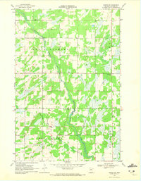
1969 · Nimrod SW
USGS Topo · 1:24,000