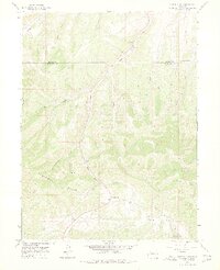
1966 Map of Ninemile Gap
USGS Topo · Published 1975About this map
Danforth Hills define the topography of this Northwestern Colorado landscape, where the border of Moffat and Rio Blanco counties crosses a region shaped by resource extraction and high-altitude drainage. Surveyed in the mid-1960s, the map reveals a network of industrial activity concentrated along narrow valleys, including the Taylor Mine and several oil wells, such as the specifically identified Yellow Jacket 8778. A labyrinth of pack trails and jeep trails provides the only access through the winding draws and gulches.
Find a feature on this map
25 named features on this map. Tap any name to fly to it.
Don’t see what you’re looking for? This feature index may not catch every label — zoom into the map to look around manually.
Map Details
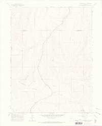
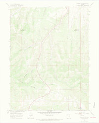
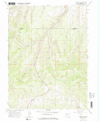
Editions of this 1966 Ninemile Gap Map
4 editions found
Other maps of this area

1910 · Danforth Hills
USGS Topo · 1:125,000

1912 · Meeker
USGS Topo · 1:62,500

1912 · Axial
USGS Topo · 1:62,500

1914 · Meeker
USGS Topo · 1:62,500

1914 · Axial
USGS Topo · 1:62,500

1915 · Monument Butte
USGS Topo · 1:62,500

1954 · Craig
USGS Topo · 1:250,000

1957 · Craig
USGS Topo · 1:250,000

1958 · Craig
USGS Topo · 1:250,000

1960 · Craig
USGS Topo · 1:250,000