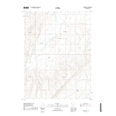
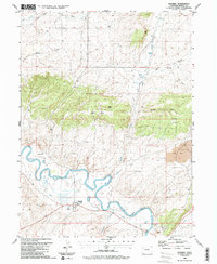
2019 Map of Ninemile Hill
USGS Topo · Published 2019About this map
The Little Snake River meanders through the northwest corner of this Moffat County landscape, defining the local drainage patterns as it passes by Sellers Hole. The high desert terrain is dominated by prominent topographic landmarks, including the namesake Ninemile Hill and the sprawling Ninemile Basin. These features, along with the dramatic Godiva Rim and Bald Mountain Basin to the south, illustrate the complex geological formations that define this portion of the Colorado Plateau.
Find a feature on this map
23 named features on this map. Tap any name to fly to it.
Don’t see what you’re looking for? This feature index may not catch every label — zoom into the map to look around manually.
Map Details
Editions of this 2019 Ninemile Hill Map
This is the sole edition of this map. No revisions or reprints were ever made.
Other maps of this area

1954 · Vernal
USGS Topo · 1:250,000

1958 · Vernal
USGS Topo · 1:250,000

1958 · Maybell
USGS Topo · 1:62,500

1960 · Vernal
USGS Topo · 1:250,000

1960 · Lone Mountain
USGS Topo · 1:62,500
1969 · The Nipple SE
USGS Topo · 1:24,000

1969 · The Nipple
USGS Topo · 1:24,000
1969 · Lang Spring
USGS Topo · 1:24,000
1979 · Canyon of Lodore
USGS Topo · 1:100,000
1986 · Maybell
USGS Topo · 1:24,000