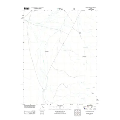
2012 Map of Ninemile Peak
USGS Topo · Published 2012About this map
Antelope Valley dominates the western portion of this Nye County landscape, where the ephemeral Antelope Wash snakes through the high desert floor. The eastern boundary is defined by the elevation of the Antelope Range, peaking at Ninemile Peak and Merriam Peak. This area is characterized by a high density of named water sources essential for survival and ranching in the Great Basin, including a series of numbered seeps such as Segura Spring Number Six and Segura Spring Number Eight.
Find a feature on this map
20 named features on this map. Tap any name to fly to it.
Don’t see what you’re looking for? This feature index may not catch every label — zoom into the map to look around manually.
Map Details
Editions of this 2012 Ninemile Peak Map
This is the sole edition of this map. No revisions or reprints were ever made.
Other maps of this area

1926 · Roberts Mountains
USGS Topo · 1:250,000

1929 · Roberts Mountains
USGS Topo · 1:250,000

1955 · Millett
USGS Topo · 1:250,000

1956 · Bellevue Peak
USGS Topo · 1:62,500

1956 · Cockalorum Wash
USGS Topo · 1:62,500

1956 · Horse Heaven Mtn
USGS Topo · 1:62,500

1956 · Antelope Peak
USGS Topo · 1:62,500

1959 · Millett
USGS Topo · 1:250,000

1978 · Summit Mountain
USGS Topo · 1:100,000
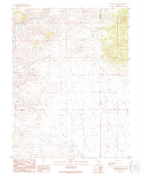
1989 · Ninemile Peak
USGS Topo · 1:24,000