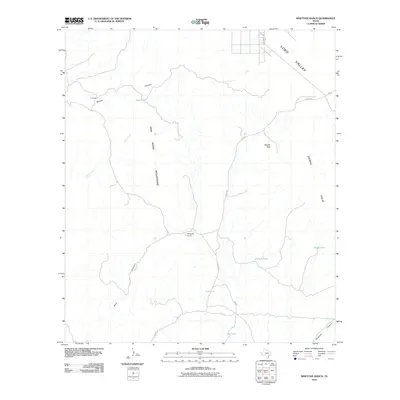
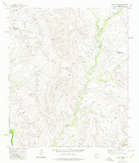
2010 Map of Ninetysix Ranch
USGS Topo · Published 2010About this map
The Van Horn Mountains and the northern reaches of the Sierra Vieja define this arid landscape in Culberson County. This 2010 topographic record centers on the isolated Ninetysix Ranch, where the geography is dominated by deep drainage systems like Ninetysix Canyon and Hog Canyon. To the north, the Lobo Valley provides a transition from the higher peaks, such as Needle Peak, toward more level terrain.
Find a feature on this map
16 named features on this map. Tap any name to fly to it.
Don’t see what you’re looking for? This feature index may not catch every label — zoom into the map to look around manually.
Map Details
Editions of this 2010 Ninetysix Ranch Map
This is the sole edition of this map. No revisions or reprints were ever made.
Other maps of this area

1892 · Chispa
USGS Topo · 1:125,000

1895 · Chispa
USGS Topo · 1:125,000

1897 · Chispa
USGS Topo · 1:125,000

1959 · Marfa
USGS Topo · 1:250,000

1965 · Marfa
USGS Topo · 1:250,000
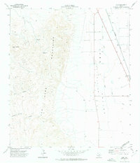
1972 · Lobo
USGS Topo · 1:24,000
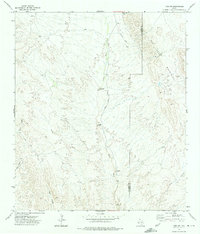
1972 · Lobo SW
USGS Topo · 1:24,000
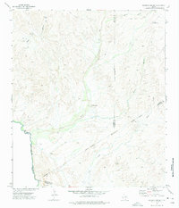
1972 · Mesquite Spring
USGS Topo · 1:24,000
1972 · Soldier Spring
USGS Topo · 1:24,000

1972 · Chispa
USGS Topo · 1:24,000