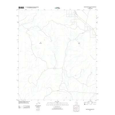
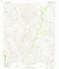
2012 Map of Ninetysix Ranch
USGS Topo · Published 2012About this map
The Ninetysix Ranch serves as a central landmark in this high-desert landscape, located within the foothills of the Van Horn Mountains. This 2012 survey captures a remote region of West Texas defined by its network of ephemeral drainage systems and ranching infrastructure. Arid-land hydrology is prominent throughout the terrain, with several stock ponds or watering holes including Howard Tank, Baldy Tank, and Red Tank providing essential water sources for the cattle operations that have long characterized the local economy.
Find a feature on this map
13 named features on this map. Tap any name to fly to it.
Don’t see what you’re looking for? This feature index may not catch every label — zoom into the map to look around manually.
Map Details
Editions of this 2012 Ninetysix Ranch Map
This is the sole edition of this map. No revisions or reprints were ever made.
Other maps of this area

1892 · Chispa
USGS Topo · 1:125,000

1895 · Chispa
USGS Topo · 1:125,000

1897 · Chispa
USGS Topo · 1:125,000

1959 · Marfa
USGS Topo · 1:250,000

1965 · Marfa
USGS Topo · 1:250,000
1972 · Lobo
USGS Topo · 1:24,000
1972 · Lobo SW
USGS Topo · 1:24,000
1972 · Mesquite Spring
USGS Topo · 1:24,000
1972 · Soldier Spring
USGS Topo · 1:24,000

1972 · Chispa
USGS Topo · 1:24,000