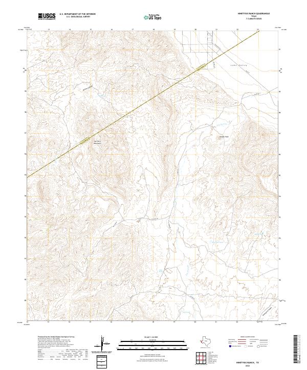
2022 Map of Ninetysix Ranch
USGS Topo · Published 2022About this map
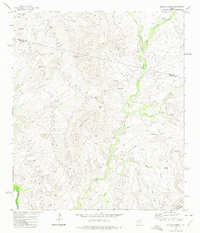
Van Horn Mountains dominate the western portion of this Trans-Pecos landscape, where the high desert terrain of Jeff Davis and Culberson counties meets. This 2022 survey captures a remote ranching environment defined by critical water infrastructure and rugged elevation changes. The presence of numerous named water sources, such as Red Tank, Howard Tank, and Jeff Tank, underscores the necessity of livestock watering points in this arid region, while drainage patterns like Van Horn Cr and Sand Cr carve through the mountain slopes.
Find a feature on this map
18 named features on this map. Tap any name to fly to it.
Don’t see what you’re looking for? This feature index may not catch every label — zoom into the map to look around manually.
Map Details
Editions of this 2022 Ninetysix Ranch Map
This is the sole edition of this map. No revisions or reprints were ever made.
Other maps of this area

1892 · Chispa
USGS Topo · 1:125,000

1895 · Chispa
USGS Topo · 1:125,000

1897 · Chispa
USGS Topo · 1:125,000

1959 · Marfa
USGS Topo · 1:250,000

1965 · Marfa
USGS Topo · 1:250,000
1972 · Lobo
USGS Topo · 1:24,000
1972 · Lobo SW
USGS Topo · 1:24,000
1972 · Mesquite Spring
USGS Topo · 1:24,000
1972 · Soldier Spring
USGS Topo · 1:24,000

1972 · Chispa
USGS Topo · 1:24,000