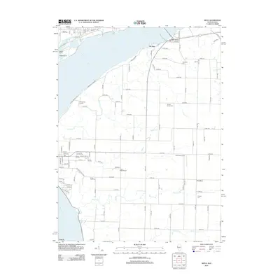
2012 Map of Niota
USGS Topo · Published 2012About this map
The Mississippi River dominates this riverfront corridor, where the settlements of Niota and Old Niota mark the shoreline. The landscape is defined by a dense concentration of burial grounds, providing significant genealogical resources through sites like Sacred Heart Cem, Appanoose Cem, and the Nauvoo City Cem. These sites, along with the Pioneer Saints Cem, reflect the deep layers of settlement and religious history characteristic of this region.
Find a feature on this map
108 named features on this map. Tap any name to fly to it.
Don’t see what you’re looking for? This feature index may not catch every label — zoom into the map to look around manually.
Map Details
Editions of this 2012 Niota Map
This is the sole edition of this map. No revisions or reprints were ever made.
Other maps of this area

1932 · Lomax
USGS Topo · 1:62,500

1933 · Carthage
USGS Topo · 1:62,500

1936 · Keokuk
USGS Topo · 1:62,500

1936 · Fort Madison
USGS Topo · 1:62,500

1937 · Carthage
USGS Topo · 1:62,500

1937 · Lomax
USGS Topo · 1:62,500

1950 · Keokuk
USGS Topo · 1:62,500

1958 · Burlington
USGS Topo · 1:250,000

1961 · Burlington
USGS Topo · 1:250,000

1963 · Burlington
USGS Topo · 1:250,000