
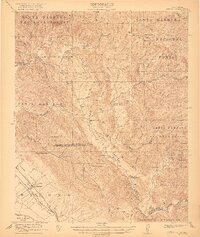
1922 Map of Nipomo
USGS Topo · Published 1922About this map
Nipomo and the Pacific Coast Ry serve as the primary gateways to this agricultural and ranching landscape of the early 1920s. The region is defined by the sharp transition between the Nipomo Valley and the steep terrain of the Santa Barbara National Forest. Local education was decentralized across several rural campuses, including the Santa Manuela School, Huasna School, and Suey Creek School, indicating a network of remote homesteads and ranching communities. Major family operations like the Colwell Ranch, Porter Ranch, and Adams Ranch were established along the Huasna Valley and Huasna River, where the geography permitted cattle and crop cultivation. A notable surveying curiosity is the meeting of the Mt Diablo and San Bernardino meridians, which intersect here amidst the canyons of the San Rafael Mountains.
Find a feature on this map
48 named features on this map. Tap any name to fly to it.
Don’t see what you’re looking for? This feature index may not catch every label — zoom into the map to look around manually.
Map Details
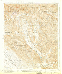
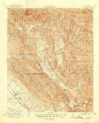
Editions of this 1922 Nipomo Map
4 editions found
Other maps of this area

1897 · San Luis Obispo
USGS Topo · 1:62,500

1897 · Arroyo Grande
USGS Topo · 1:62,500

1900 · San Luis
USGS Topo · 1:125,000

1905 · Guadalupe
USGS Topo · 1:125,000

1905 · Lompoc
USGS Topo · 1:125,000

1922 · Pozo
USGS Topo · 1:62,500

1932 · La Panza
USGS Topo · 1:48,000

1935 · La Panza
USGS Topo · 1:62,500

1936 · La Panza
USGS Topo · 1:62,500

1937 · Branch Mtn
USGS Topo · 1:48,000