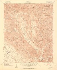
1952 Map of Nipomo
USGS Topo · Published 1953About this map
Nipomo and its surrounding valleys are documented here during a period of agricultural and ranching prominence in southern San Luis Obispo County. The map details a complex landscape of coastal ridges and interior canyons, dominated by the sprawling Los Padres National Forest. Cultural landmarks like the Santa Manuela School and Huasna School point to the scattered rural communities that defined the area before later development.
Find a feature on this map
66 named features on this map. Tap any name to fly to it.
Don’t see what you’re looking for? This feature index may not catch every label — zoom into the map to look around manually.
Map Details
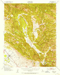
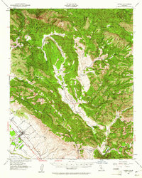
Editions of this 1952 Nipomo Map
3 editions found
Other maps of this area

1897 · San Luis Obispo
USGS Topo · 1:62,500

1897 · Arroyo Grande
USGS Topo · 1:62,500

1900 · San Luis
USGS Topo · 1:125,000

1905 · Guadalupe
USGS Topo · 1:125,000

1905 · Lompoc
USGS Topo · 1:125,000

1922 · Pozo
USGS Topo · 1:62,500

1922 · Nipomo
USGS Topo · 1:62,500

1932 · La Panza
USGS Topo · 1:48,000

1935 · La Panza
USGS Topo · 1:62,500

1936 · La Panza
USGS Topo · 1:62,500