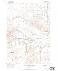
1951 Map of Nisland
USGS Topo · Published 1953About this map
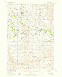
Nisland serves as the focal point of this western South Dakota landscape during the early 1950s, situated at the confluence of an extensive irrigation network and the Chicago and North Western railroad. The town's local significance is underscored by the presence of the County Fairground and a cluster of nearby rural education centers including Horse Creek Sch, Hillside Sch, and Chase Sch. The terrain is defined by the winding course of the Belle Fourche River, which is paralleled by an intricate system of man-made waterways like the North Western Canal, Butte Lateral, and Sorenson Lateral. These features highlight the era's intensive efforts in water management for the Missouri River Basin development. Prominent landmarks such as Miller Butte and Twin Buttes rise above the drainage plains, while a Cem and a Gravel Pit provide specific points of interest for genealogists and local historians.
Find a feature on this map
25 named features on this map. Tap any name to fly to it.
Don’t see what you’re looking for? This feature index may not catch every label — zoom into the map to look around manually.
Map Details
Editions of this 1951 Nisland Map
2 editions found
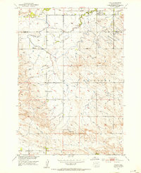
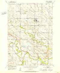
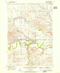
Other maps of this area

1905 · Saint Onge
USGS Topo · 1:62,500

1906 · Two Top
USGS Topo · 1:62,500

1906 · Vale
USGS Topo · 1:62,500

1907 · Belle Fourche
USGS Topo · 1:125,000

1913 · Newell
USGS Topo · 1:125,000
1951 · Vale
USGS Topo · 1:24,000
1951 · Newell
USGS Topo · 1:24,000
1951 · Nisland
USGS Topo · 1:24,000
1951 · Vale
USGS Topo · 1:62,500

1953 · Rapid City
USGS Topo · 1:250,000