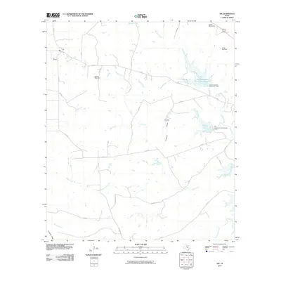
2010 Map of Nix
USGS Topo · Published 2010About this map
Nix sits at the northwestern edge of this landscape, a small community hub defined by its proximity to Nix Cemetery and the intersection of Co RD 53 and FM 580. The terrain is shaped by the presence of significant high points such as Waters Mountain and Cedar Top Peak, which overlook a network of seasonal drainages and creek beds. In the northeast, the Soil Conservation Service Site 1 Reservoir and its associated dam reflect mid-century efforts to manage water flow and erosion across the ranchlands of Lampasas County.
Find a feature on this map
36 named features on this map. Tap any name to fly to it.
Don’t see what you’re looking for? This feature index may not catch every label — zoom into the map to look around manually.
Map Details
Editions of this 2010 Nix Map
This is the sole edition of this map. No revisions or reprints were ever made.
Other maps of this area

1887 · Lampasas
USGS Topo · 1:125,000

1887 · Burnet
USGS Topo · 1:125,000

1893 · Burnet
USGS Topo · 1:125,000

1894 · Lampasas
USGS Topo · 1:125,000

1903 · Burnet
USGS Topo · 1:125,000

1909 · Burnet
USGS Topo · 1:125,000

1932 · Tow
USGS Topo · 1:62,500

1954 · Brownwood
USGS Topo · 1:250,000

1954 · Lampasas
USGS Topo · 1:62,500

1954 · Lampasas
USGS Topo · 1:24,000