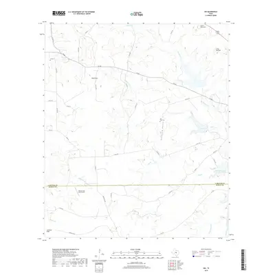
2019 Map of Nix
USGS Topo · Published 2019About this map
Waters Mtn and the Carter Mountains define the high country of the Lampasas and Burnet county line, where the landscape is marked by limestone ridges and deep drainage ravines. This Central Texas terrain is structured by winding creeks like Donalson Cr and Pitt Creek, which flow toward the southern reservoirs. Family and local history is anchored at the Nix Cem in the northwest and the Pitt Creek Cem near Graveyard Hollow, preserving the names of early hill country settlers.
Find a feature on this map
44 named features on this map. Tap any name to fly to it.
Don’t see what you’re looking for? This feature index may not catch every label — zoom into the map to look around manually.
Map Details
Editions of this 2019 Nix Map
This is the sole edition of this map. No revisions or reprints were ever made.
Other maps of this area

1887 · Lampasas
USGS Topo · 1:125,000

1887 · Burnet
USGS Topo · 1:125,000

1893 · Burnet
USGS Topo · 1:125,000

1894 · Lampasas
USGS Topo · 1:125,000

1903 · Burnet
USGS Topo · 1:125,000

1909 · Burnet
USGS Topo · 1:125,000

1932 · Tow
USGS Topo · 1:62,500

1954 · Brownwood
USGS Topo · 1:250,000

1954 · Lampasas
USGS Topo · 1:62,500

1954 · Lampasas
USGS Topo · 1:24,000