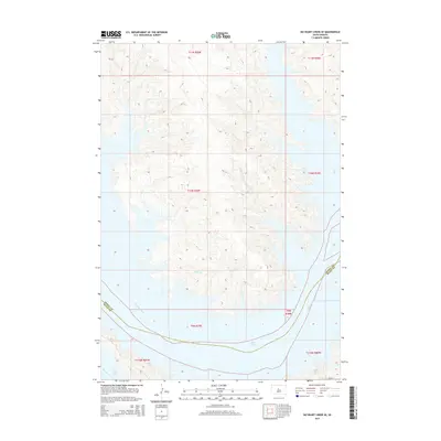
2015 Map of No Heart Creek SE
USGS Topo · Published 2015About this map
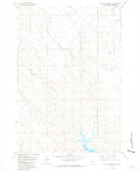
Lake Oahe dominates the southern portion of this landscape where the Missouri River once flowed more narrowly through the Dakota plains. This 2015 representation of the river's path through the boundary of Dewey and Sully Counties illustrates the impact of modern reservoirs on the local geography, showing the expansive reach of the water into former creek beds. In the north, the terrain is carved by Fairbanks Cr and Splits Cr, which feed into the larger system. The map provides a detailed view of the township and range system across this stretch of South Dakota, including t11n r29e, t10n r29e, and t9n r29e. The only primary road marked in the southeast is 182nd St, highlighting the sparse, agricultural nature of the land surrounding the Missouri valley.
Find a feature on this map
14 named features on this map. Tap any name to fly to it.
Don’t see what you’re looking for? This feature index may not catch every label — zoom into the map to look around manually.
Map Details
Editions of this 2015 No Heart Creek SE Map
This is the sole edition of this map. No revisions or reprints were ever made.
Other maps of this area

1954 · Pierre
USGS Topo · 1:250,000

1958 · Pierre
USGS Topo · 1:250,000
1965 · Artichoke Butte SW
USGS Topo · 1:24,000
1965 · Okobojo
USGS Topo · 1:24,000
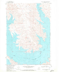
1969 · No Heart Creek SE
USGS Topo · 1:24,000
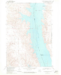
1969 · Artichoke Butte NW
USGS Topo · 1:24,000
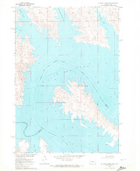
1969 · No Heart Creek SW
USGS Topo · 1:24,000
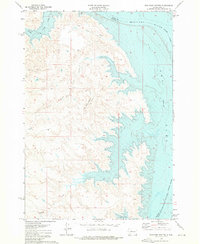
1973 · Iron Post Buttes
USGS Topo · 1:24,000
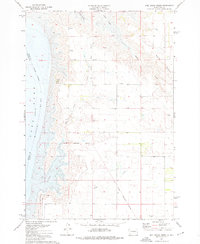
1973 · Mail Shack Creek
USGS Topo · 1:24,000
1981 · No Heart Creek NE
USGS Topo · 1:24,000