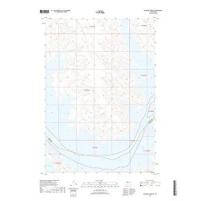
2017 Map of No Heart Creek SE
USGS Topo · Published 2017About this map
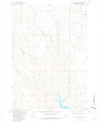
Lake Oahe dominates this landscape along the border of Dewey and Sully counties, where the modern impoundment of the Missouri River has fundamentally altered the terrain. The shoreline is defined by deeply recessed inlets like Willow Creek Bay and smaller drainage features such as Fairbanks Cr and Splits Cr, which carve into the surrounding bluffs. The map reflects a sparsely populated area primarily structured by the Public Land Survey System, with township lines like t11n r29e and t10n r30e providing the primary geographic orientation. Away from the water, the terrain transitions into high-plains topography, accessible by limited infrastructure like 182nd St. This survey illustrates the relationship between the vast reservoir system and the remote rural townships that border it in the early twenty-first century.
Find a feature on this map
15 named features on this map. Tap any name to fly to it.
Don’t see what you’re looking for? This feature index may not catch every label — zoom into the map to look around manually.
Map Details
Editions of this 2017 No Heart Creek SE Map
This is the sole edition of this map. No revisions or reprints were ever made.
Other maps of this area

1954 · Pierre
USGS Topo · 1:250,000

1958 · Pierre
USGS Topo · 1:250,000
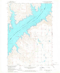
1965 · Artichoke Butte SW
USGS Topo · 1:24,000
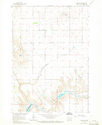
1965 · Okobojo
USGS Topo · 1:24,000
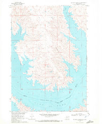
1969 · No Heart Creek SE
USGS Topo · 1:24,000
1969 · Artichoke Butte NW
USGS Topo · 1:24,000
1969 · No Heart Creek SW
USGS Topo · 1:24,000
1973 · Iron Post Buttes
USGS Topo · 1:24,000
1973 · Mail Shack Creek
USGS Topo · 1:24,000
1981 · No Heart Creek NE
USGS Topo · 1:24,000