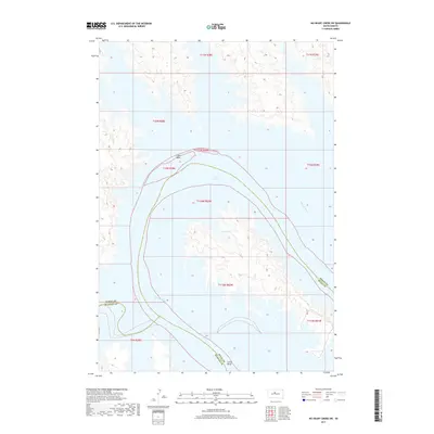
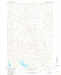
2017 Map of No Heart Creek SW
USGS Topo · Published 2017About this map
Lake Oahe dominates the landscape of this 2017 topographic study, marking the winding course of the Missouri River as it carves through the plains of South Dakota. The prominent peninsula known as Little Bend creates a massive loop in the waterway, illustrating the dramatic hydrography that defines the borders of Dewey, Stanley, and Sully Counties. This modern survey, compiled from National Hydrography Dataset and NAIP imagery, focuses on the vast water-to-land interface of the reservoir system. The lack of roads or settlements within this quadrant highlights the transition of this river valley into a managed waterway, where the intricate shoreline of Lake Oahe follows the submerged contours of the old river breaks.
Find a feature on this map
14 named features on this map. Tap any name to fly to it.
Don’t see what you’re looking for? This feature index may not catch every label — zoom into the map to look around manually.
Map Details
Editions of this 2017 No Heart Creek SW Map
This is the sole edition of this map. No revisions or reprints were ever made.
Other maps of this area

1954 · Pierre
USGS Topo · 1:250,000

1958 · Pierre
USGS Topo · 1:250,000
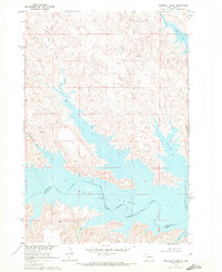
1969 · Rousseau Creek
USGS Topo · 1:24,000
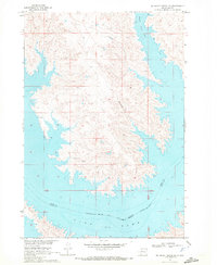
1969 · No Heart Creek SE
USGS Topo · 1:24,000
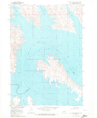
1969 · No Heart Creek SW
USGS Topo · 1:24,000
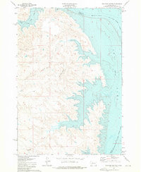
1973 · Iron Post Buttes
USGS Topo · 1:24,000
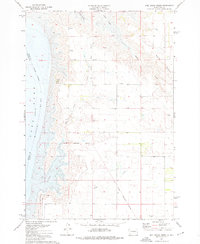
1973 · Mail Shack Creek
USGS Topo · 1:24,000
1981 · Charlie Creek
USGS Topo · 1:24,000
1981 · No Heart Creek NE
USGS Topo · 1:24,000
1981 · No Heart Creek
USGS Topo · 1:24,000