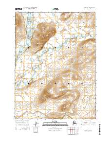
2014 Map of Noatak D-3 NW
USGS Topo · Published 2014About this map
Iyichoruk Mountain dominates the northwestern landscape of this remote Arctic territory, serving as a prominent landmark in the Noatak D-3 NW quadrangle. The terrain is defined by its complex drainage network, where the Wulik River winds through the northwestern corner and Ikalukrok Cr meanders across the central valley floor. This 2014 survey captures a glimpse of industrial infrastructure in the Alaskan wilderness with the appearance of the Red Dog Mine Road in the southeast corner. This corridor provides vital access through the watershed of Tutak Cr, illustrating the relationship between the region's geography and its mineral resource economy. The map also delineates the township and range boundaries for t30n r21w and t29n r20w, providing an essential reference for land management in this arctic borough.
Find a feature on this map
9 named features on this map. Tap any name to fly to it.
Don’t see what you’re looking for? This feature index may not catch every label — zoom into the map to look around manually.
Map Details
Editions of this 2014 Noatak D-3 NW Map
This is the sole edition of this map. No revisions or reprints were ever made.
Other maps of this area

1951 · De Long Mountains
USGS Topo · 1:250,000

1951 · Noatak
USGS Topo · 1:250,000

1955 · Noatak
USGS Topo · 1:250,000

1955 · De Long Mountains
USGS Topo · 1:250,000

1955 · Noatak D-4
USGS Topo · 1:63,360

1955 · Noatak D-3
USGS Topo · 1:63,360

1955 · De Long Mountains A-3
USGS Topo · 1:63,360

1964 · Noatak
USGS Topo · 1:250,000

1965 · De Long Mountains
USGS Topo · 1:250,000
2014 · Noatak D-3 SE
USGS Topo · 1:25,000