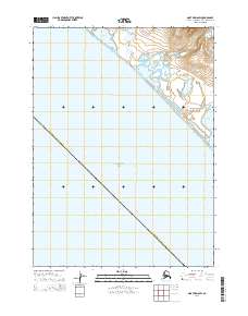
2014 Map of Noatak D-6 SW
USGS Topo · Published 2014About this map
The Chukchi Sea coastline in the Northwest Arctic Borough is defined by an intricate network of lagoons and coastal drainages. This 2014 survey captures a shifting landscape of water and silt, where the Asikpak River feeds into several distinct coastal basins, including Asikpak Lagoon and Sivgu Lagoon. The geography here is notably low-lying, punctuated by Pingau Hill, which serves as a rare high point in a territory dominated by estuaries and tundra. Further north, Kavrorak Lagoon and its associated Kavrorak Springs indicate the presence of significant freshwater inputs into the saltwater system. To the south, the map traces the upper reaches of Kivalina Lagoon, illustrating the continuous barrier-island and lagoon formations that characterize this stretch of the Alaskan Arctic coast.
Find a feature on this map
52 named features on this map. Tap any name to fly to it.
Don’t see what you’re looking for? This feature index may not catch every label — zoom into the map to look around manually.
Map Details
Editions of this 2014 Noatak D-6 SW Map
This is the sole edition of this map. No revisions or reprints were ever made.
Other maps of this area

1951 · Noatak
USGS Topo · 1:250,000
1952 · Noatak D-7
USGS Topo · 1:63,360

1955 · Noatak
USGS Topo · 1:250,000
1955 · Noatak D-6
USGS Topo · 1:63,360

1964 · Noatak
USGS Topo · 1:250,000
2014 · Noatak D-6 SE
USGS Topo · 1:25,000
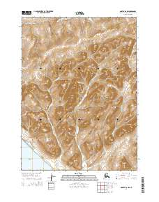
2014 · Noatak D-6 NW
USGS Topo · 1:25,000
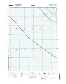
2014 · Noatak C-5 OE W NE
USGS Topo · 1:25,000
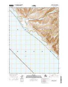
2014 · Noatak D-7 NE
USGS Topo · 1:25,000
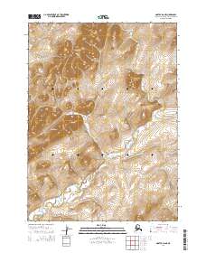
2014 · Noatak D-6 NE
USGS Topo · 1:25,000