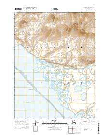
2014 Map of Noatak D-6 SE
USGS Topo · Published 2014About this map
The Kivalina River winds through a complex coastal ecosystem before emptying into the expansive Kivalina Lagoon along the Chukchi Sea. This 2014 survey documents the intricate network of water and land where the Kivalik Inlet meets the coastline. The landscape is defined by its dramatic relief, transitioning from tidal flats to prominent elevations like Asikpak Mountain and Kisaymaruktuk Mountain in the north.
Find a feature on this map
19 named features on this map. Tap any name to fly to it.
Don’t see what you’re looking for? This feature index may not catch every label — zoom into the map to look around manually.
Map Details
Editions of this 2014 Noatak D-6 SE Map
This is the sole edition of this map. No revisions or reprints were ever made.
Other maps of this area

1951 · Noatak
USGS Topo · 1:250,000
1952 · Noatak C-5
USGS Topo · 1:63,360

1955 · Noatak
USGS Topo · 1:250,000
1955 · Noatak D-6
USGS Topo · 1:63,360
1955 · Noatak D-5
USGS Topo · 1:63,360

1964 · Noatak
USGS Topo · 1:250,000
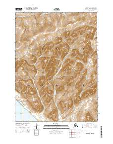
2014 · Noatak D-6 NW
USGS Topo · 1:25,000
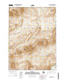
2014 · Noatak D-5 NW
USGS Topo · 1:25,000
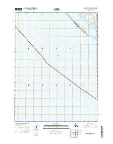
2014 · Noatak C-5 OE W NE
USGS Topo · 1:25,000
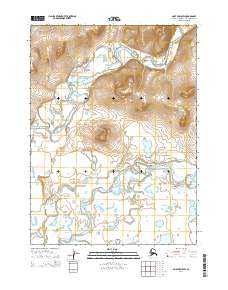
2014 · Noatak D-5 SW
USGS Topo · 1:25,000