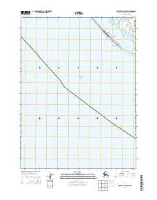
2014 Map of Noatak C-5 OE W NE
USGS Topo · Published 2014About this map
The settlement of Kivalina occupies a tenuous position on the thin coastal strip between the Chukchi Sea and Kivalina Lagoon. This 2014 survey captures the distinct geography of the region, where the community is situated near the Kilogorak Spit and Kason Spit. The limited infrastructure of this remote Arctic landscape is centered around Bering Street and the local Po, reflecting the concentrated nature of habitation in the Northwest Arctic Borough. To the southeast, the Singauk Entrance serves as the vital maritime passage connecting the lagoon to the open sea, a critical feature for local navigation and subsistence in this traditional whaling and fishing area.
Find a feature on this map
12 named features on this map. Tap any name to fly to it.
Don’t see what you’re looking for? This feature index may not catch every label — zoom into the map to look around manually.
Map Details
Editions of this 2014 Noatak C-5 OE W NE Map
This is the sole edition of this map. No revisions or reprints were ever made.
Other maps of this area

1951 · Noatak
USGS Topo · 1:250,000
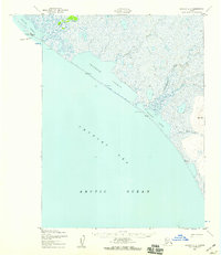
1952 · Noatak C-5
USGS Topo · 1:63,360

1955 · Noatak
USGS Topo · 1:250,000
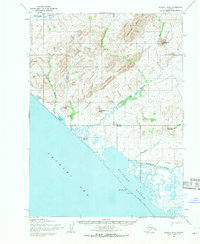
1955 · Noatak D-6
USGS Topo · 1:63,360
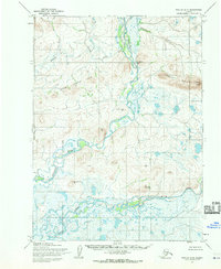
1955 · Noatak D-5
USGS Topo · 1:63,360

1964 · Noatak
USGS Topo · 1:250,000
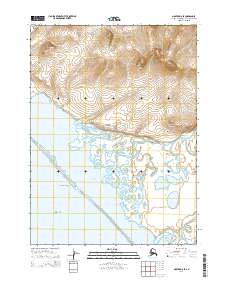
2014 · Noatak D-6 SE
USGS Topo · 1:25,000
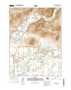
2014 · Noatak D-5 SW
USGS Topo · 1:25,000
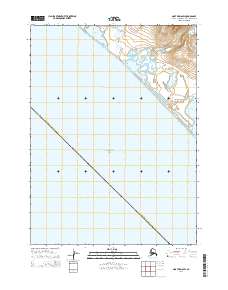
2014 · Noatak D-6 SW
USGS Topo · 1:25,000
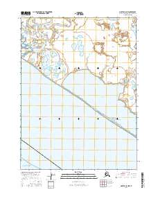
2016 · Noatak C-5 NW
USGS Topo · 1:25,000