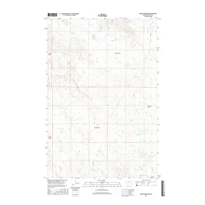
2017 Map of Noble Reservoir
USGS Topo · Published 2017About this map
Noble Reservoir and Hall Reservoir anchor the southeastern reaches of this eastern Montana landscape, where drainage patterns define the local geography. The area is characterized by a complex network of seasonal watercourses including Rice Cr, House Cr, and Tree Cr, all of which eventually feed toward the larger Sunday Creek system. This drainage network indicates a landscape managed for water retention in a semi-arid ranching environment.
Find a feature on this map
17 named features on this map. Tap any name to fly to it.
Don’t see what you’re looking for? This feature index may not catch every label — zoom into the map to look around manually.
Map Details
Editions of this 2017 Noble Reservoir Map
This is the sole edition of this map. No revisions or reprints were ever made.
Other maps of this area

1953 · Miles City
USGS Topo · 1:250,000

1957 · Miles City
USGS Topo · 1:250,000

1958 · Miles City
USGS Topo · 1:250,000
1968 · Big Hill
USGS Topo · 1:24,000
1968 · Miles City
USGS Topo · 1:24,000
1969 · Horse Creek Hill
USGS Topo · 1:24,000
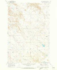
1969 · Noble Reservoir
USGS Topo · 1:24,000
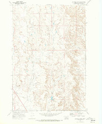
1969 · Deadman Creek
USGS Topo · 1:24,000
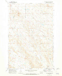
1969 · Coal Bank Spring
USGS Topo · 1:24,000
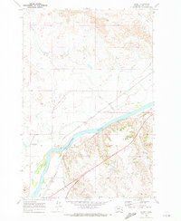
1969 · Kinsey
USGS Topo · 1:24,000