
2024 Map of Noble Reservoir
USGS Topo · Published 2024About this map
Steamboat Butte rises above the drainage networks of Custer County, serving as a prominent landmark in this prairie landscape. The area is defined by its seasonal water management and grazing infrastructure, anchored by the Noble Reservoir and Hall Reservoir in the southern portion of the quadrangle. A series of drainages, including Sand Creek, Tree Creek, and House Creek, carve through the terrain, illustrating the natural hydraulic patterns of the Montana rangeland. Local transportation is limited to established routes like Kinsey Rd and Caprock Rd, which provide access to this ranching country. The map captures the remote character of the region, where land use is dictated by the availability of water and the contours of the high plains.
Find a feature on this map
13 named features on this map. Tap any name to fly to it.
Don’t see what you’re looking for? This feature index may not catch every label — zoom into the map to look around manually.
Map Details
Editions of this 2024 Noble Reservoir Map
This is the sole edition of this map. No revisions or reprints were ever made.
Other maps of this area

1953 · Miles City
USGS Topo · 1:250,000

1957 · Miles City
USGS Topo · 1:250,000

1958 · Miles City
USGS Topo · 1:250,000

1968 · Big Hill
USGS Topo · 1:24,000

1968 · Miles City
USGS Topo · 1:24,000

1969 · Horse Creek Hill
USGS Topo · 1:24,000

1969 · Noble Reservoir
USGS Topo · 1:24,000
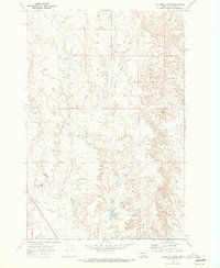
1969 · Deadman Creek
USGS Topo · 1:24,000
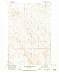
1969 · Coal Bank Spring
USGS Topo · 1:24,000

1969 · Kinsey
USGS Topo · 1:24,000