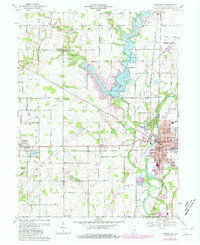
1969 Map of Noblesville
USGS Topo · Published 1981About this map
White River flows southward through this Central Indiana landscape, anchoring the city of Noblesville and its surrounding townships. The 1969 data, updated with 1980 purple revisions, captures a period of suburban expansion and infrastructure development, most notably the expansive Morse Reservoir which dominates the northern half of the sheet. The map documents the city's civic core, including the Courthouse, City Hall, and numerous neighborhood schools like Forest Hill Sch and Conner Sch.
Find a feature on this map
74 named features on this map. Tap any name to fly to it.
Don’t see what you’re looking for? This feature index may not catch every label — zoom into the map to look around manually.
Map Details
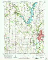
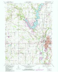
Editions of this 1969 Noblesville Map
3 editions found
Other maps of this area

1952 · Fishers
USGS Topo · 1:24,000

1952 · Carmel
USGS Topo · 1:24,000

1952 · Mc Cordsville
USGS Topo · 1:24,000

1953 · Westfield
USGS Topo · 1:24,000

1953 · Riverwood
USGS Topo · 1:24,000

1953 · Noblesville
USGS Topo · 1:24,000

1953 · Cincinnati
USGS Topo · 1:250,000

1953 · Danville
USGS Topo · 1:250,000

1953 · Indianapolis
USGS Topo · 1:250,000

1953 · Muncie
USGS Topo · 1:250,000