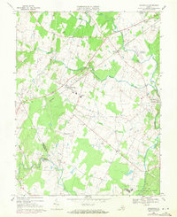
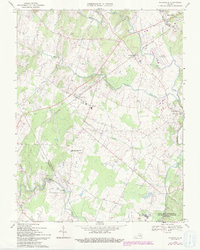
1966 Map of Nokesville
USGS Topo · Published 1971About this map
Nokesville and Bristow anchor this 1960s survey of Prince William County, situated along the Southern railway corridor. The landscape is defined by the convergence of several major waterways, including Broad Run, Kettle Run, and Cedar Run, which historically supported local industry like Daniels Mill. This edition includes purple photogrammetric revisions from 1971, documenting suburban growth and infrastructure changes such as the development around Manassas Municipal Airport (Davis Field). To the south, the map captures a portion of the Quantico Marine Corps Schools near Camp Upshur, while rural life is marked by numerous family-named landmarks including White Hall Cem and Valley View Cem. Smaller crossroads such as Aden and Kings Crossroads illustrate the persistent rural character of the Virginia Piedmont during a period of encroaching regional expansion.
Find a feature on this map
31 named features on this map. Tap any name to fly to it.
Don’t see what you’re looking for? This feature index may not catch every label — zoom into the map to look around manually.
Map Details
Editions of this 1966 Nokesville Map
5 editions found
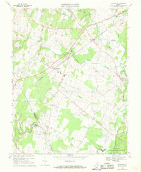
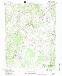
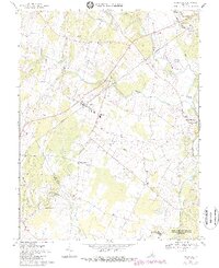
Other maps of this area

1890 · Mt. Vernon
USGS Topo · 1:125,000

1891 · Mt. Vernon
USGS Topo · 1:125,000

1894 · Warrenton
USGS Topo · 1:125,000

1894 · Mt. Vernon
USGS Topo · 1:125,000

1897 · Mt. Vernon
USGS Topo · 1:125,000

1915 · Fairfax
USGS Topo · 1:62,500

1927 · Quantico
USGS Topo · 1:62,500

1933 · Middleburg
USGS Topo · 1:62,500

1940 · Quantico
USGS Topo · 1:62,500

1943 · Quantico
USGS Topo · 1:62,500