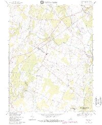
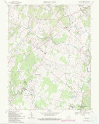
1966 Map of Nokesville
USGS Topo · Published 1988About this map
Southern railroad tracks bisect the landscape of Prince William County, connecting the farming communities and growing towns of mid-century Virginia. The map details a period of transition as Manassas expands southward, while the historic village of Brentsville remains centered around its schools and local landmarks like the Hetchner Memorial Ch. The rural character of the area is defined by a network of waterways including Kettle Run, Slate Run, and Cedar Run, which historically powered local industry such as Daniels Mill. Genealogy researchers will find significant value in the distribution of family and community burial grounds, from Valley View Cem to the Rose Hill Cem near the Manassas Municipal Airport (Davis Field). To the south, the map captures the northern edge of the Marine Corps Development and Educational Command (Quantico), specifically identifying Camp Upshur.
Find a feature on this map
33 named features on this map. Tap any name to fly to it.
Don’t see what you’re looking for? This feature index may not catch every label — zoom into the map to look around manually.
Map Details
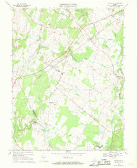
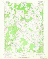
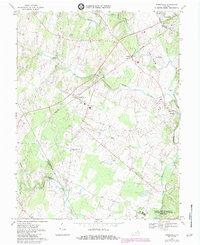
Editions of this 1966 Nokesville Map
5 editions found
Other maps of this area

1890 · Mt. Vernon
USGS Topo · 1:125,000

1891 · Mt. Vernon
USGS Topo · 1:125,000

1894 · Warrenton
USGS Topo · 1:125,000

1894 · Mt. Vernon
USGS Topo · 1:125,000

1897 · Mt. Vernon
USGS Topo · 1:125,000

1915 · Fairfax
USGS Topo · 1:62,500

1927 · Quantico
USGS Topo · 1:62,500

1933 · Middleburg
USGS Topo · 1:62,500

1940 · Quantico
USGS Topo · 1:62,500

1943 · Quantico
USGS Topo · 1:62,500