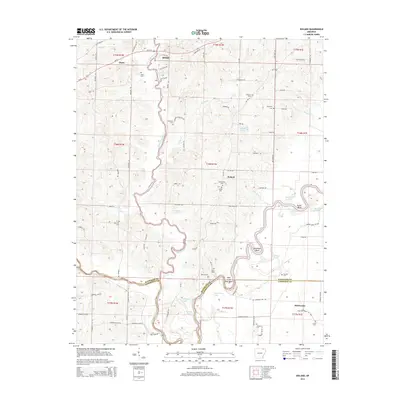
2014 Map of Noland
USGS Topo · Published 2014About this map
The Eleven Point River dictates the landscape of this Arkansas region as it winds through Randolph and Lawrence counties. Meandering southward, the river carves distinct terrain features like Deadman Bend and the curiously named Hole in the Wall Bend before meeting the Black River. This aquatic network supported a string of small rural settlements including Birdell, Noland, and Richwoods, which remained connected by a web of local routes such as Old Union Rd and State Park Rd. Numerous family and community burial grounds, such as Huffstedler Cem, Throop Cem, and Lester Cem, are scattered across the quadrangle, serving as vital touchstones for genealogical research. The map also reveals a series of oxbows and small lakes, including Horseshoe Lake, Round Lake, and Bull Pizzle Lake, illustrating the evolving hydrology of these river bottoms.
Find a feature on this map
98 named features on this map. Tap any name to fly to it.
Don’t see what you’re looking for? This feature index may not catch every label — zoom into the map to look around manually.
Map Details
Editions of this 2014 Noland Map
This is the sole edition of this map. No revisions or reprints were ever made.
Other maps of this area
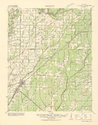
1932 · Walnut Ridge
USGS Topo · 1:62,500
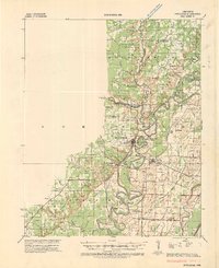
1934 · Powhatan
USGS Topo · 1:62,500
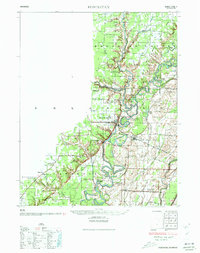
1935 · Powhatan
USGS Topo · 1:62,500
1935 · Reyno
USGS Topo · 1:62,500
1935 · Walnut Ridge
USGS Topo · 1:62,500

1957 · Poplar Bluff
USGS Topo · 1:250,000
1959 · Poplar Bluff
USGS Topo · 1:250,000
1960 · Poplar Bluff
USGS Topo · 1:250,000
1965 · Walnut Ridge
USGS Topo · 1:24,000
1965 · Manson
USGS Topo · 1:24,000