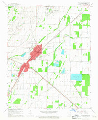
1965 Map of Walnut Ridge
USGS Topo · Published 1966About this map
Walnut Ridge and Hoxie serve as the primary rail and commercial hubs in this mid-1960s study, where the ST Louis San Francisco and Missouri Pacific lines converge. The landscape is defined by a dense network of drainage features and sloughs, including White Oak Slough, Lindseys Slough, and Marrow Bone Slough, reflecting a region managed for agriculture and flood control. Beyond the urban centers, rural life is marked by numerous family-named burial grounds like Whittaker Cem and Pierce Cem, alongside community anchors such as White Oak Ch and its namesake White Oak Sch. The presence of several private airfields, including the Callahan Landing Strip and Johnson Landing Strip, alongside the larger Walnut Ridge Municipal Airport, suggests a period where aviation was increasingly integrated into the local agricultural and transport economy.
Find a feature on this map
49 named features on this map. Tap any name to fly to it.
Don’t see what you’re looking for? This feature index may not catch every label — zoom into the map to look around manually.
Map Details
Editions of this 1965 Walnut Ridge Map
3 editions found
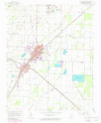
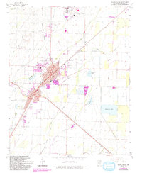
Other maps of this area

1932 · Walnut Ridge
USGS Topo · 1:62,500

1934 · Powhatan
USGS Topo · 1:62,500

1935 · Powhatan
USGS Topo · 1:62,500

1935 · Sedgwick
USGS Topo · 1:62,500

1935 · Alicia
USGS Topo · 1:62,500

1935 · Walnut Ridge
USGS Topo · 1:62,500

1953 · Memphis
USGS Topo · 1:250,000

1956 · Memphis
USGS Topo · 1:250,000

1957 · Poplar Bluff
USGS Topo · 1:250,000

1959 · Poplar Bluff
USGS Topo · 1:250,000