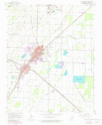
1965 Map of Walnut Ridge
USGS Topo · Published 1982About this map
The junction of the Burlington Northern and Missouri Pacific railroads serves as the industrial anchor for Walnut Ridge and neighboring Hoxie, where iron rails crisscross a landscape defined by drainage and irrigation. To the north, College City sits near the Walnut Ridge Municipal Airport, while the surrounding terrain is etched with complex water systems including Village Creek, Coon Creek, and the winding White Oak Slough.
Find a feature on this map
41 named features on this map. Tap any name to fly to it.
Don’t see what you’re looking for? This feature index may not catch every label — zoom into the map to look around manually.
Map Details
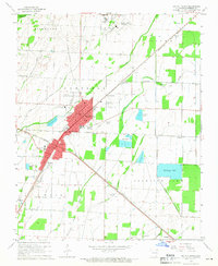
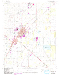
Editions of this 1965 Walnut Ridge Map
3 editions found
Other maps of this area

1932 · Walnut Ridge
USGS Topo · 1:62,500

1934 · Powhatan
USGS Topo · 1:62,500

1935 · Powhatan
USGS Topo · 1:62,500

1935 · Sedgwick
USGS Topo · 1:62,500

1935 · Alicia
USGS Topo · 1:62,500

1935 · Walnut Ridge
USGS Topo · 1:62,500

1953 · Memphis
USGS Topo · 1:250,000

1956 · Memphis
USGS Topo · 1:250,000

1957 · Poplar Bluff
USGS Topo · 1:250,000

1959 · Poplar Bluff
USGS Topo · 1:250,000