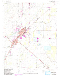
1965 Map of Walnut Ridge
USGS Topo · Published 1993About this map
The rail-driven hub of Walnut Ridge and neighboring Hoxie anchor this Lawrence County landscape during a period of post-war expansion and agricultural stability. The dual-city layout is defined by the heavy presence of the Burlington Northern railroad lines, which converge near the historic center. To the north, College City sits adjacent to the Walnut Ridge Municipal Airport, a significant regional landmark situated amidst a network of drainage features and sloughs.
Find a feature on this map
45 named features on this map. Tap any name to fly to it.
Don’t see what you’re looking for? This feature index may not catch every label — zoom into the map to look around manually.
Map Details
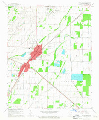
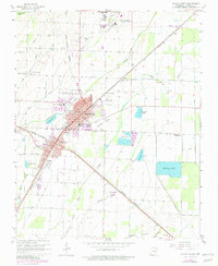
Editions of this 1965 Walnut Ridge Map
3 editions found
Other maps of this area

1932 · Walnut Ridge
USGS Topo · 1:62,500

1934 · Powhatan
USGS Topo · 1:62,500

1935 · Powhatan
USGS Topo · 1:62,500

1935 · Sedgwick
USGS Topo · 1:62,500

1935 · Alicia
USGS Topo · 1:62,500

1935 · Walnut Ridge
USGS Topo · 1:62,500

1953 · Memphis
USGS Topo · 1:250,000

1956 · Memphis
USGS Topo · 1:250,000

1957 · Poplar Bluff
USGS Topo · 1:250,000

1959 · Poplar Bluff
USGS Topo · 1:250,000