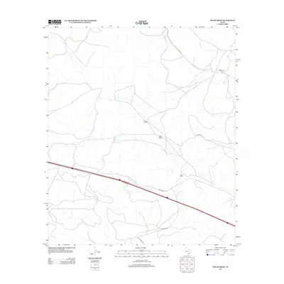
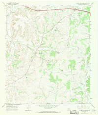
2012 Map of Nolen Draw
USGS Topo · Published 2012About this map
Allison Ranch and the T Half Circle Ranch define the ranching landscape of Sutton County in this modern survey. The terrain is characterized by the ephemeral drainage of Nolen Draw, which meanders through a network of rural access routes and private land holdings. Infrastructure is centered around the corridor of Ranch Road 1312 and a parallel Frontage Rd, reflecting the continued importance of transportation links in this expansive region. The presence of Starks Windmill serves as a functional landmark within the interior, while named paths like Glasscock Rd and Private Road 1130 provide access to the various pastures and homesteads that make up the local agricultural economy.
Find a feature on this map
9 named features on this map. Tap any name to fly to it.
Don’t see what you’re looking for? This feature index may not catch every label — zoom into the map to look around manually.
Map Details
Editions of this 2012 Nolen Draw Map
This is the sole edition of this map. No revisions or reprints were ever made.
Other maps of this area

1954 · Sonora
USGS Topo · 1:250,000

1958 · Sonora
USGS Topo · 1:250,000
1964 · Coupe Ranch
USGS Topo · 1:24,000
1964 · Bailey Draw
USGS Topo · 1:24,000
1967 · Nolen Draw
USGS Topo · 1:24,000
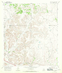
1967 · Savell Ranch
USGS Topo · 1:24,000
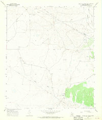
1967 · Double Mill Draw SE
USGS Topo · 1:24,000
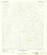
1967 · Ozona SE
USGS Topo · 1:24,000
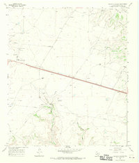
1967 · Crockett Heights
USGS Topo · 1:24,000
1967 · Caverns Of Sonora
USGS Topo · 1:24,000