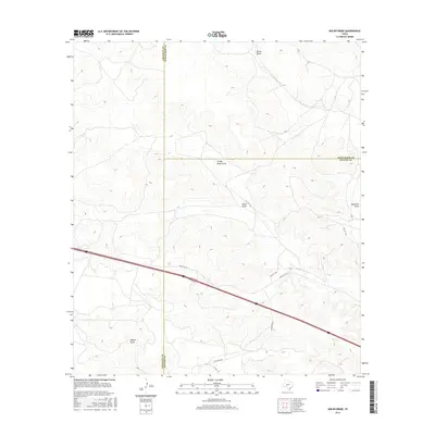
2016 Map of Nolen Draw
USGS Topo · Published 2016About this map
Turkey Roost Draw and Nolen Draw characterize this West Texas landscape where Sutton, Schleicher, and Crockett counties meet. This high-plateau region, dominated by ephemeral watercourses and ranching access, is defined by its drainage patterns and a network of private and ranch roads. The map documents the specific alignment of Ranch Rd 1312 as it cuts across the southern portion of the quadrangle, serving as a primary artery through the rolling terrain. Other named features such as Burns Draw and Buckhorn Draw illustrate the natural topography that has influenced land use and the placement of remote ranching infrastructure. This 2016 survey captures the area at a point when modern transportation like Glasscock Rd and various private routes facilitated the continued management of these expansive Texas lands.
Find a feature on this map
13 named features on this map. Tap any name to fly to it.
Don’t see what you’re looking for? This feature index may not catch every label — zoom into the map to look around manually.
Map Details
Editions of this 2016 Nolen Draw Map
This is the sole edition of this map. No revisions or reprints were ever made.
Other maps of this area

1954 · Sonora
USGS Topo · 1:250,000

1958 · Sonora
USGS Topo · 1:250,000

1964 · Coupe Ranch
USGS Topo · 1:24,000

1964 · Bailey Draw
USGS Topo · 1:24,000

1967 · Nolen Draw
USGS Topo · 1:24,000

1967 · Savell Ranch
USGS Topo · 1:24,000

1967 · Double Mill Draw SE
USGS Topo · 1:24,000

1967 · Ozona SE
USGS Topo · 1:24,000

1967 · Crockett Heights
USGS Topo · 1:24,000

1967 · Caverns Of Sonora
USGS Topo · 1:24,000