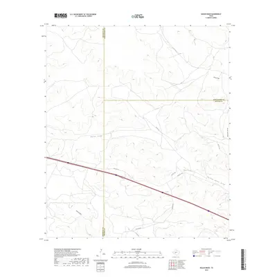
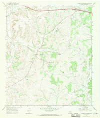
2019 Map of Nolen Draw
USGS Topo · Published 2019About this map
Nolen Draw and its complex system of dry drainages dominate this West Texas landscape where Crockett, Schleicher, and Sutton counties meet. This high-plateau environment is defined by its seasonal watercourses, including Turkey Roost Draw, Buckhorn Draw, and Willow Draw, which reveal the erosional patterns of the Edwards Plateau. The infrastructure here is largely oriented toward ranching and local transit, centered on the primary east-west corridor of Ranch Rd 1312. This thoroughfare is supported by a network of private and service roads like Pvt Rd 1143 and Glasscock Rd, which provide access to the expansive land holdings typical of this region. The map captures a moment in the 21st century where traditional land use and county boundaries intersect with modern surveying, preserving the specific placement of rural access points and family-named draws.
Find a feature on this map
13 named features on this map. Tap any name to fly to it.
Don’t see what you’re looking for? This feature index may not catch every label — zoom into the map to look around manually.
Map Details
Editions of this 2019 Nolen Draw Map
This is the sole edition of this map. No revisions or reprints were ever made.
Other maps of this area

1954 · Sonora
USGS Topo · 1:250,000

1958 · Sonora
USGS Topo · 1:250,000
1964 · Coupe Ranch
USGS Topo · 1:24,000
1964 · Bailey Draw
USGS Topo · 1:24,000
1967 · Nolen Draw
USGS Topo · 1:24,000
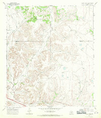
1967 · Savell Ranch
USGS Topo · 1:24,000
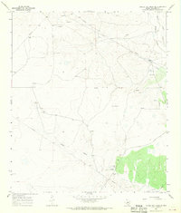
1967 · Double Mill Draw SE
USGS Topo · 1:24,000
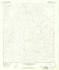
1967 · Ozona SE
USGS Topo · 1:24,000
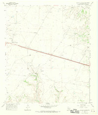
1967 · Crockett Heights
USGS Topo · 1:24,000
1967 · Caverns Of Sonora
USGS Topo · 1:24,000