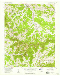
1957 Map of Nolensville
USGS Topo · Published 1958About this map
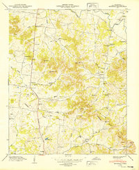
The agrarian landscape of the Davidson and Williamson County line is defined by a complex network of knobs and hollows during the late 1950s. The settlement of Nolensville serves as a central hub, anchored by the Nolensville School and Nolensville Church. The terrain is marked by distinctive elevations like McMahan Knob and Chinquapin Hill, while drainage follows the winding path of Mill Creek and its various branches.
Find a feature on this map
75 named features on this map. Tap any name to fly to it.
Don’t see what you’re looking for? This feature index may not catch every label — zoom into the map to look around manually.
Map Details
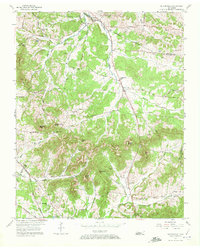
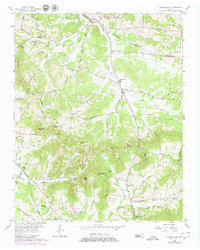
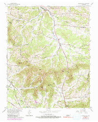
Editions of this 1957 Nolensville Map
4 editions found
Other maps of this area

1903 · Nashville
USGS Topo · 1:125,000

1909 · Franklin
USGS Topo · 1:62,500

1932 · Hermitage
USGS Topo · 1:62,500

1932 · Nashville
USGS Topo · 1:62,500

1936 · Bethesda
USGS Topo · 1:24,000

1942 · Lebanon
USGS Topo · 1:100,000

1946 · Bethesda
USGS Topo · 1:24,000

1949 · Franklin
USGS Topo · 1:24,000
1949 · Bethesda
USGS Topo · 1:24,000

1952 · La Vergne
USGS Topo · 1:24,000