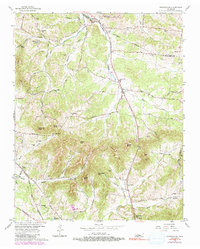
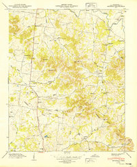
1957 Map of Nolensville
USGS Topo · Published 1991About this map
Nolensville serves as the primary hub in this late-1950s landscape, situated along the winding course of Mill Creek. The terrain is defined by a series of prominent elevations, including McMahan Knob, Potato Hill, and Daddy Knob, which separate the various creek branches. The eastern and southern portions of the map show a network of rural settlements like Arrington and Green Grove, connected by historic transit corridors such as Edmondson Pike and the Louisville and Nashville railroad tracks in the southwest corner. Local life at the time is clearly marked by numerous small gathering places, ranging from the Nolensville Sch to various rural congregations like Trinity Ch and Arrington Ch. Genealogists will find an exceptional density of family burial sites, including the Battle Cem, Chrisman Cem, and McFarlin Cem, which reflect the long-standing land ownership patterns of the Williamson County countryside.
Find a feature on this map
73 named features on this map. Tap any name to fly to it.
Don’t see what you’re looking for? This feature index may not catch every label — zoom into the map to look around manually.
Map Details
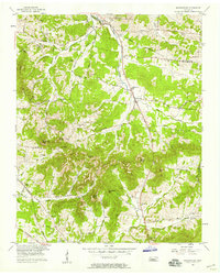
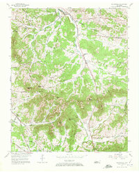
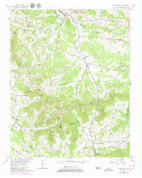
Editions of this 1957 Nolensville Map
4 editions found
Other maps of this area

1903 · Nashville
USGS Topo · 1:125,000

1909 · Franklin
USGS Topo · 1:62,500

1932 · Hermitage
USGS Topo · 1:62,500

1932 · Nashville
USGS Topo · 1:62,500

1936 · Bethesda
USGS Topo · 1:24,000

1942 · Lebanon
USGS Topo · 1:100,000

1946 · Bethesda
USGS Topo · 1:24,000

1949 · Franklin
USGS Topo · 1:24,000
1949 · Bethesda
USGS Topo · 1:24,000

1952 · La Vergne
USGS Topo · 1:24,000